 |
| 1. Looking toward Dock Square, across the site marker and State St. |
 |
| 2. The restored site marker, indicating the date of the massacre. |
 |
| 3. Looking up Devonshire St., corner of the Old State House at right. |
 |
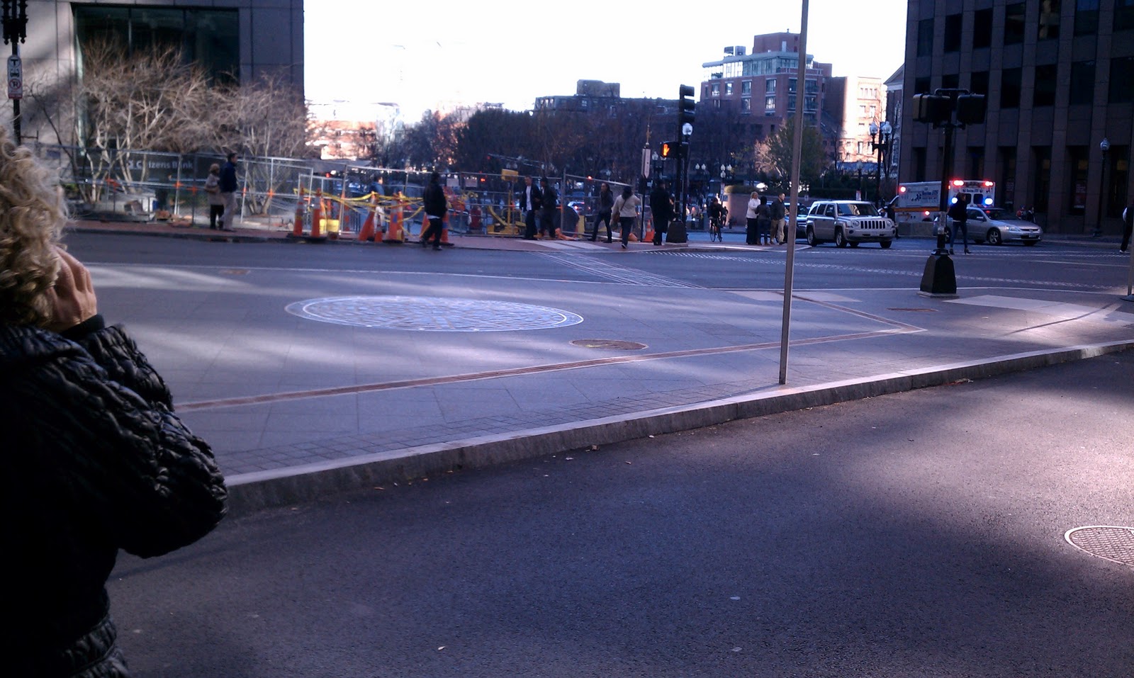
| 4. Looking from the opposite vantage point, across Congres and down State St. |
The Location: State, Court, Washington, Devonshire, and Congress Streets, Boston, MA (Map).
Year of Urban Fabric Restoration: 2011.
The Story: We last focused on the positive influence of thoughtful intersection improvements early last year in discussing Alexander the Great Square in Roslindale, a place admittedly somewhat on the periphery of the city. We're now looking at the very heart of Boston - directly in front of the Old State House (built on the site of the original Town House) at the intersection of five different streets - and near the site of the Boston Massacre, one of the defining moments in the run-up to open hostilities in the American War for Independence. The Wikipedia entry linked here recounts the devolution of a relatively routine encounter in the street into calling out a small contingent of armed troops, to taunts and snowball/rock throwing by the frustrated local citizenry at the symbols of imperial power to the climax of the event - the undisciplined firing of weapons by the provoked soldiers into an unarmed crowd, resulting in the death of 5 Bostonians. It never ceases to amaze me that John Adams led the defendse of the 8 British soldiers who, after an investigation by the colonial authorities, were charged with murder - and managed to get 6 of them (including the corporal in charge, who had never ordered his contingent to fire) acquitted and 2 convicted of the lesser charge of manslaughter.
The site marker's location is somewhat inaccurate - it seems clear from the available record that the incident itself took place in front of the colonial-era custom house, which was down State Street (then King Street), closer to the harbor. But there is no doubt that the recent improvements at this intersection make it both a more fitting setting for the marker (which has itself been given a typically understated old school-Boston upgrade with the date and title information around the outside) and a much better pedestrian environment. I'm not sure when the area took on the God-awful street design that pushed a direct access lane from Congress Street to Devonshire Street within just a couple of feet from the Old State House's corner, though based on the Bromley Atlas plates available online, it was definitely after 1938. That seems about right to me. Most of the really bad street design/traffic engineering in the country took place in the immediate postwar period, when it seems the thought was that everything should be made easier for automobiles, flying cars were just around the corner and we certainly weren't going to be needing much in the way of walkable urban areas - at least at the ground level - in our bright, Jetsons-like future. So, what was the big deal if you isolated the Boston Massacre site marker and utterly stripped it of its context by sticking it in the middle of a pork-chop shaped traffic island? It wasn't long for this world anyway.
 |
| Credit: The Boston Globe. |
And as is the way with capital improvements, this bad decision-making proved long-lasting. It's been several decades now since Boston embraced its long and storied history as something that was important, worth preserving, and (above all) marketable. Even so, it wasn't until the MBTA decided to renovate State Street station, which underlies much of the intersection, about 5 years ago that the City was able to find the right opportunity to right this particular wrong and give everyone the opportunity to stop and reflect on this historic event without the fear of being run over at any minute. As someone who works in the building that looms, Vader-like, above the Old State House and thus comes through this particular part of Boston quite often, there is no question that this is a great improvement over the old layout, rationalizing the vehicular traffic pattern and expressing a clear preference for the huge volume of pedestrians - both residents and workers in Boston as well as our tourist friends from around the country and the world - who pass through here on a daily basis. It's just another example of small changes that are running in the right direction for a better experience for everyone who comes into contact with this city. More of this please.
RTUF sketch of the restored urban fabric: You'll have to forgive your correspondent for failing to property title the sketch. I've discovered since doing and scanning this sketch that the actual Boston Massacre Memorial is on Boston Common. This is only the site marker. - MJL


